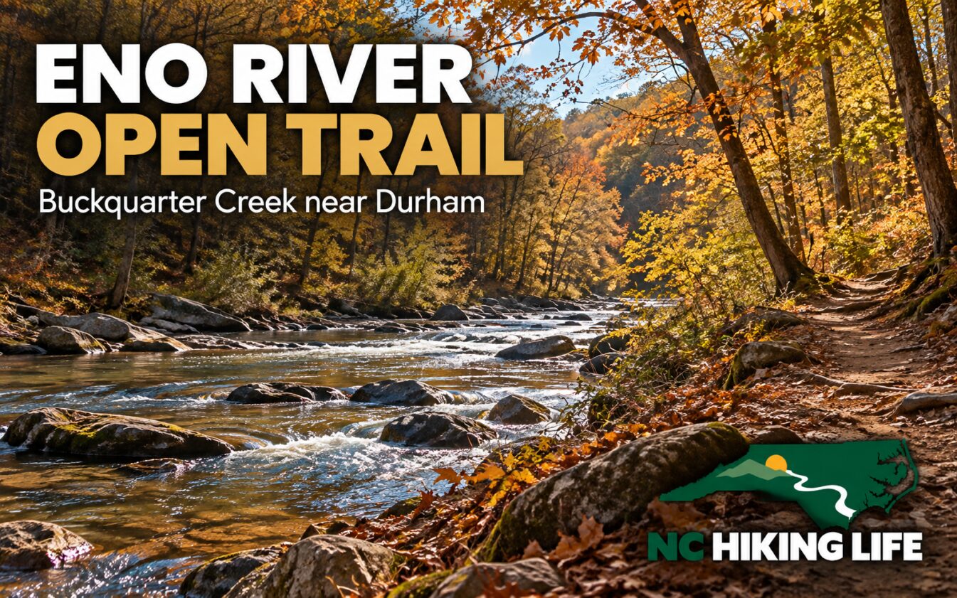
A river hike near Durham can fit into a smaller window than a mountain day, but the Eno still deserves a little planning. Buckquarter Creek offers a compact loop for walkers who want time beside a Piedmont river without committing to a long itinerary.
NC State Parks lists Buckquarter Creek Trail as a 1.5-mile loop, rated moderate and marked with red circles. That combination is useful: the distance is short, while the rating warns against treating it as a paved stroll. Save time for careful footing and stops along the way.
Start with today's trail status
Eno River State Park remained partially closed when we reviewed its pages on October 29, 2026. Buckquarter Creek was listed open. Several familiar alternatives were closed, including Cox Mountain, Cole Mill, Bobbitt Hole, Pea Creek, and Fanny's Ford. Holden Mill's upland section was open, while its riverside section was closed.
Those are different trails with different statuses. Do not read an appealing older Eno itinerary and assume its entire loop is available. Open the official trail list before your visit, pick a route that is open throughout, and obey any newer signs or barriers you find on arrival.
For this trip, make Buckquarter Creek the plan. An unplanned extension can introduce a closed section or more mileage than your group expected. If you want a longer day, verify that separate route with the park before you begin.
Find Fews Ford, not Cole Mill access
Use the Fews Ford access and current park map to locate the Buckquarter Creek start. The park's homepage and trail page show different street numbers on Cole Mill Road for Fews Ford, so we are not presenting either as a confirmed trailhead coordinate. Check the official access map or ask the park office at 984-250-1370 if navigation is uncertain.
The separately named Cole Mill access was closed at our review. Similar road and access names make it especially useful to share a map pin and an agreed meeting location with companions before leaving home.
Day use is free. Bring the route map with you rather than expecting a sign at every decision point. A screenshot of the relevant section can help with orientation, while a saved offline map provides more context if you need to reconsider the plan.
Let the river set the mood
NC Tripping includes Buckquarter Creek in its fall hiking coverage, and the appeal is easy to understand: a shorter route can leave room to slow down. Look for the relationship between the moving water, the bank, and the woods instead of measuring the outing only by distance.
Keep children close near the river and stop on secure ground to take photographs. A shallow-looking channel can still have a current, and a rock that looks dry from a distance may have a slick surface. Enjoy the water from the established trail without building the day around entering it.
The moderate rating also makes this a useful family conversation before arrival. Ask whether everyone is comfortable with natural footing and uneven ground. A small backpack with water, snacks, and a spare layer can turn a slow walk into an enjoyable outing instead of a hungry countdown to the car.
A manageable outing, thoughtfully timed
Wear shoes with traction, keep dogs on an attended leash no longer than six feet, and pack out waste. Carry a headlamp even when the intended walk is short. Start with a generous daylight window, especially if you expect lots of stops or are hiking with someone new to trails.
The best version of this Eno visit is straightforward: the correct access, an open route, and time to pay attention. A final alert check before departure keeps a promising little river loop from turning into a search for a trail you cannot use.
Sources and planning links
- NC State Parks: current trail details
- NC State Parks: alerts and visitor information
- NC Tripping: fall hiking inspiration and access context
Featured image: AI-generated illustration inspired by the destination, with NC Hiking Life branding. It is not a documentary photograph or evidence of current trail conditions.
Recent visits from the community
Been here lately? Be the first to share how it was.