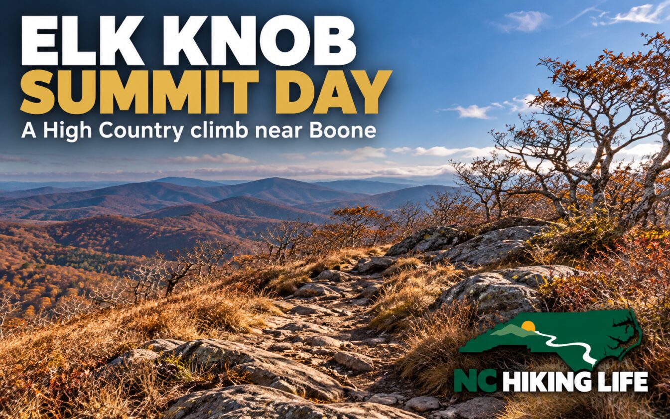
Elk Knob is a good pick when you want the walk to feel like the main event. Near Boone, the summit outing offers a sustained climb followed by a return over the same route. Give it an honest place in your schedule, and the High Country view can be a reward you have time to enjoy.
NC State Parks lists Summit Trail at 1.9 miles one way, or about 3.8 miles round trip, with a moderate-to-strenuous rating. Some travel guides use a shorter distance. For planning this outing, we use the park's current number and leave elevation gain unspecified rather than substitute an unofficial estimate.
Settle into a climbing pace
Follow the blue diamond blazes on Summit Trail. NC Tripping and Explore Boone describe a graded climb with switchbacks, but a thoughtfully laid-out path still asks you to walk uphill. Start at a pace you can maintain while talking comfortably, and take breaks before your group becomes scattered.
Choose a turnaround time before leaving the parking area. It gives everyone permission to change the plan if progress is slower than expected. Reaching a summit late with tired legs is a poor trade for the last stretch of daylight on the descent.
On the return, keep the same attention you gave the climb. Loose leaves can hide the shape of a rock or root. Leave enough space between hikers to see your own foot placement, and pause somewhere secure when you want to study the view or adjust a layer.
Dress for the mountain
The summit is 5,520 feet above sea level. That is its elevation, not the amount you climb. The park specifically cautions that the Todd weather forecast can be several degrees warmer than conditions at the top.
Pack a warm layer and a shell even when the parking lot feels pleasant. A dry spare layer can make the difference between enjoying a rest and rushing away cold. Carry water, food, a headlamp, and a downloaded map. A phone that has your route saved is more useful than one that depends on a signal appearing later.
Fall color is a bonus rather than an appointment the mountain keeps. You may find bare branches on top and color lower down. A cloudy or windy forecast can also change the appeal of a summit stop. Decide whether this is still the day your group wants before making the drive.
Getting there and choosing your day
The park address is 5564 Meat Camp Road, Todd. Day use is free. Follow the park map and signs to the Summit Trail start once inside, and check posted closing times at arrival. Do not plan a late start simply because the advertised mileage sounds compact.
This is a sensible goal for hikers comfortable with several miles and a sustained climb. Families should judge the outing by their children's recent walking experience rather than age alone. Pack something worth eating at a break, let the slowest walker set the pace, and keep a shorter option in reserve.
The park lists Beech Tree Trail as an easy one-mile loop. It can offer a different kind of visit if a summit hike is more than the group wants. Dogs are allowed on an attended leash no longer than six feet; bring their water and pack out waste.
Keep the closure notice in context
At our October 29, 2026 check, hiking was listed open, while part of Backcountry Trail remained closed after Hurricane Helene. That is a reason to use the current map, not to assume every trail or camping approach has the same status. Check the official alerts before departure, especially if your plans extend beyond Summit Trail.
Give this climb a generous window, keep a warm layer handy, and let a comfortable return be part of what counts as a successful summit day.
Sources and planning links
- NC State Parks: current trail details
- NC State Parks: alerts and visitor information
- NC Tripping: Elk Knob hiking guide
- Explore Boone: Elk Knob hiking information
Featured image: AI-generated illustration inspired by the destination, with NC Hiking Life branding. It is not a documentary photograph or evidence of current trail conditions.
Recent visits from the community
Been here lately? Be the first to share how it was.