For a lot of families around Charlotte, Mooresville and Statesville, the closest good fall walk is not up a mountain. It is beside the water. The Lake Shore Trail at Lake Norman State Park in Troutman follows the shoreline of the largest man-made lake in North Carolina, and VisitNC includes it among its picks for seeing fall color on a hike.
It is a pleasant, steady walk through Piedmont hardwoods with the lake showing through the trees. When the maples and oaks turn, the color doubles up in the reflection on calm mornings.
Choose your distance
Here is where the numbers can get confusing. VisitNC describes a 6.2-mile Lake Shore Trail. The official NC State Parks trail table lists the Lake Shore Trail itself as a 5-mile, moderate, hiking-only loop marked with white diamonds. The park separately lists a 6.3-mile outing that combines the loop with an out-and-back on Group Camp Spur. These are different route descriptions; do not use the longer mileage interchangeably with the basic loop. This guide uses the park’s numbers.
The nice part for families is that the park also lists shorter combinations using the Short Turn Trail, marked with red diamonds:
- 2.6-mile loop: Lake Shore Trail north toward the swim beach, then back on Short Turn Trail.
- 3.2-mile loop: Lake Shore Trail south toward the campground, then back on Short Turn Trail.
- 0.8-mile Alder Trail: an easy loop if the youngest hikers just want a taste.
None of these trails is listed as wheelchair accessible. The park lists about 38 miles available for hiking overall, including shared-use routes in the roughly 31-mile Itusi system, so make sure you are on the hiking-only routes if you have small children or a dog in tow.
When to go and what to expect
Piedmont leaves tend to peak later than the mountains, often late October into November, though every year is a little different. Call the visitor center at 704-528-6350 if you want a quick read on conditions.
Day use is free. The park lists October hours as 7 a.m. to 8 p.m. and November hours as 7 a.m. to 6 p.m. The same page currently gives conflicting visitor-center schedules: its status panel says daily 9 a.m. to 5 p.m., while an older section dated November 1, 2025 says Friday through Tuesday. Call 704-528-6350 to confirm before relying on a map stop. The live hiking-trail panel also lists a 7:30 p.m. closing time, earlier than the October day-use table; follow the posted trail closing time and finish well before dark. Lake Norman State Park is open on Thanksgiving Day and every holiday except Christmas, which makes it a good place for a family walk while the turkey rests.
Being this close to a big metro area, sunny fall weekends bring a crowd. Early mornings are calmer, cooler and better for spotting wildlife along the water. Late afternoon light on the lake is lovely too, just keep an eye on the closing time.
What to bring and staying safe
- Water and snacks. Five miles along the shore takes longer than it sounds when kids stop to skip rocks.
- A light jacket. Wind off the lake can feel chilly even on a bright day.
- A leash. Pets are welcome but must be on an attended leash no longer than 6 feet.
- Bug spray. Warm fall days near water can still bring out mosquitoes and ticks, so do a tick check afterward.
Keep little ones away from steep banks along the water, and watch for roots hidden under fallen leaves. If you share any stretch of trail with cyclists, step aside and give them room. Pack out every bit of trash and leave the shoreline as clean as you found it.
Make a day of it
Download or print the park map before you arrive. With several color-coded loops, connectors and bike trails crossing the area, a map makes it easy to cut the hike short if somebody gets tired and still end up back at the car with smiles all around.
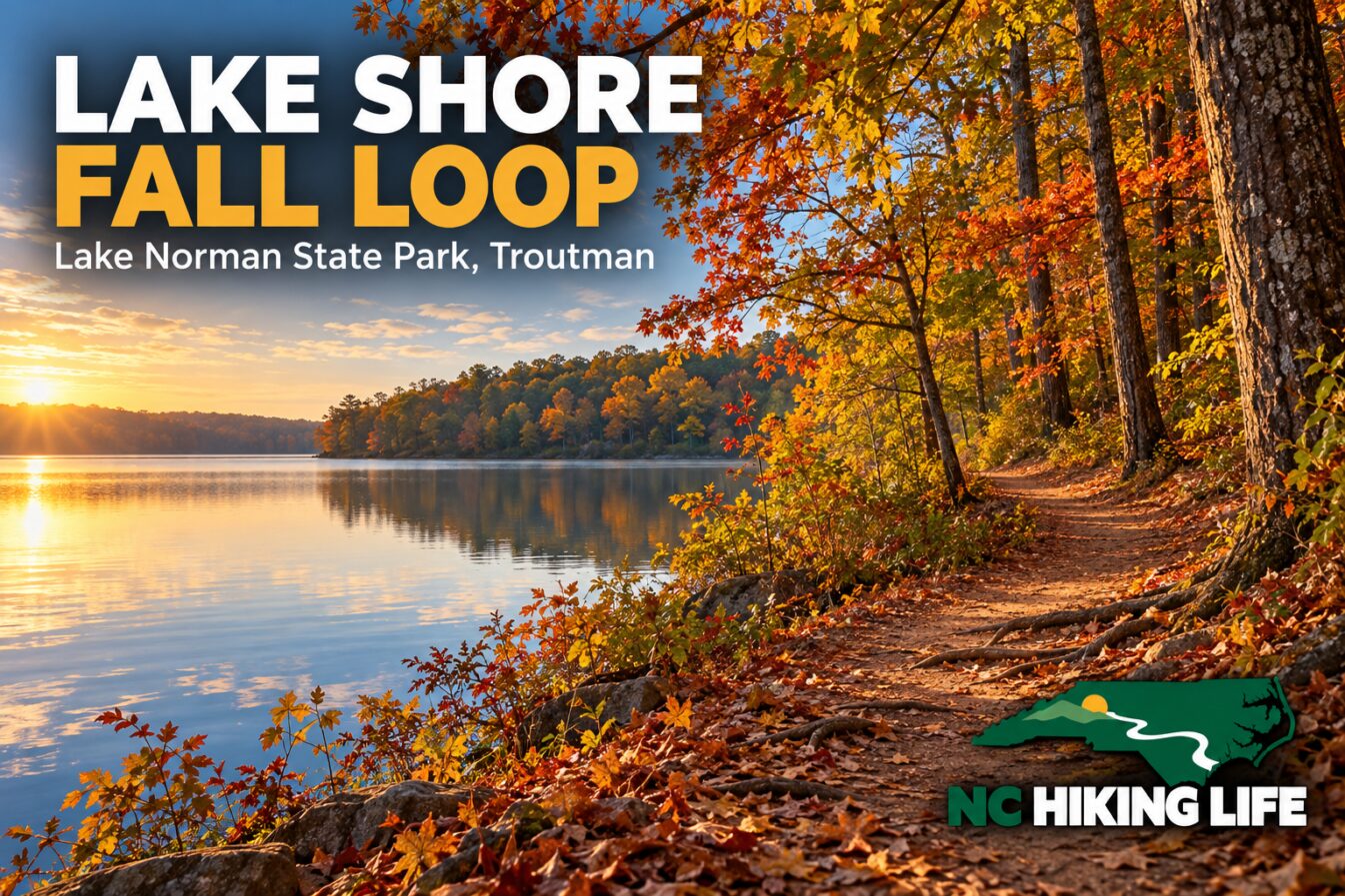
Featured image: AI-generated illustration inspired by the destination, with NC Hiking Life branding. It is not a documentary photograph or a statement of current trail conditions.
Recent visits from the community
Been here lately? Be the first to share how it was.